‘MIZ-ing’ in action: how much of Antarctic sea ice is affected by waves?
28 May 2026
Using old satellite radar techniques, scientists have developed a new way of measuring the true extent of an under-studied and crucial region of the Antarctic sea-ice system for the first time.
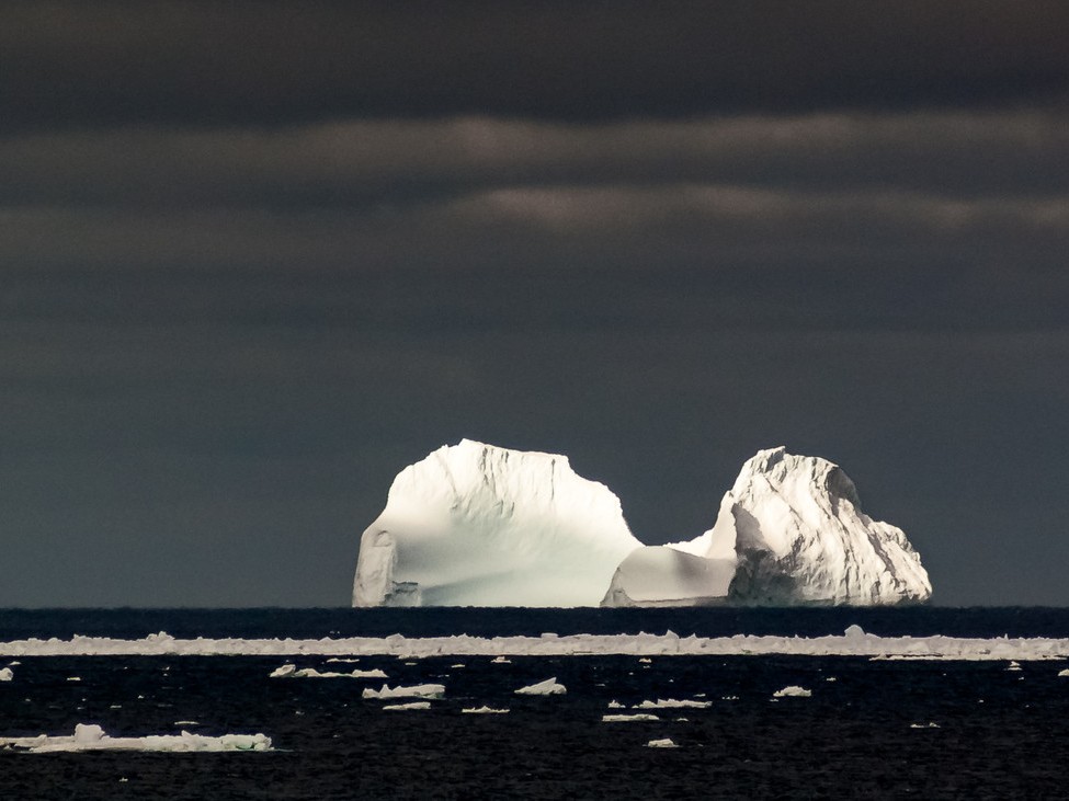
The Marginal Ice Zone (MIZ) around Antarctica is the ‘outer edge’ of the sea ice, forming a nearly 200-kilometre-wide ring of ice floes affected by waves from the extremely rough Southern Ocean.
Published in Nature Communications, the research was led by the University of Tasmania (UTAS), in collaboration with the University of Melbourne and other institutions.
Lead author Dr Alex Fraser, from the Australian Antarctic Program Partnership at UTAS, said their study answers some basic questions about where the MIZ really is.
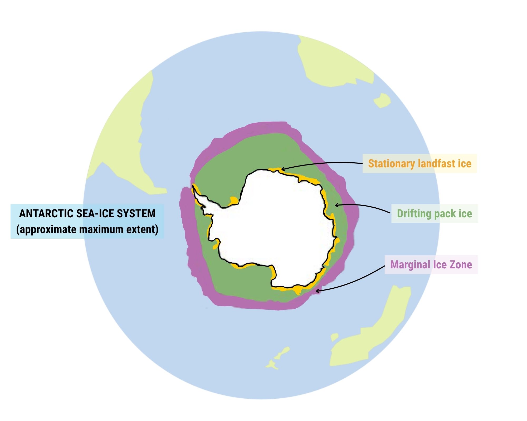
“Traditionally, the MIZ has been defined as the region with sea-ice concentration between the arbitrary thresholds of 15% and 80%, as seen by satellites.”
“However, sea-ice concentration has nothing to do with the actual MIZ definition from the World Meteorological Organization (WMO): ‘the region of ice cover which is affected by waves and swell penetrating into the ice from the open ocean’.”
“The wave action makes the MIZ a highly dynamic region of intensive ocean-ice-atmosphere interaction, but before our study, we didn’t really know how the Antarctic MIZ varies seasonally in space and time,” Dr Fraser said.
Their analysis reveals that around 16% of the Antarctic sea-ice zone is wave-affected, and the inner limit of wave penetration is unrelated to sea-ice concentration, providing a more realistic picture of how the whole system works physically and biologically.
“That’s important because when sea ice isn’t affected by waves, it forms a more complete ‘cap’ on the ocean, limiting the exchange of heat, moisture and gases (e.g., carbon dioxide) with the atmosphere. When waves jostle the ice and break it up, gaps between ice floes allow these exchanges to increase.”
“The MIZ is also important for shielding inner-pack ice, fast ice, and ice shelves from waves, and for sustaining marine life when meltwater at the retreating ice edge supports strong phytoplankton blooms that feed krill and in turn, penguins, seals and whales,” he said.
Back to the future
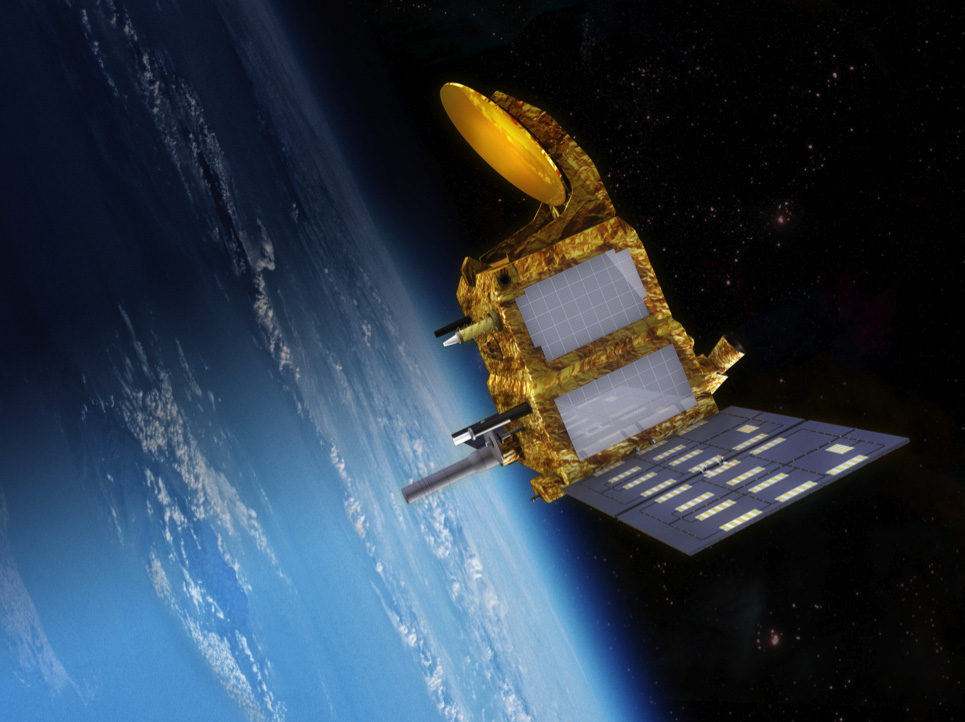
The study resurrected a 1980s technique and applied it to a radar altimeter on an orbiting French-Indian satellite launched in 2013, to measure the heights of waves entering the sea ice, over a 12-year period from 2013-2024.
Radar altimeters are more useful for this work than laser altimeters as they can ‘see’ through cloud cover. Using this technology also enables extension of the data record back in time using earlier radar altimeters, paving the way for studies on long-term changes in MIZ width.
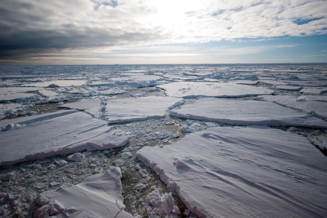
The results showed that the wave-affected MIZ is ~35 to ~180 km wide on average, depending heavily on the time of year and the longitude. Winter and early spring are the times of widest MIZ, because the ice edge is so far north that it abuts the very high wave region of the Southern Ocean.
Co-author Dr Noah Day from the School of Mathematics and Statistics at the University of Melbourne tested the satellite data in the study against a wave-ice model.
“Pan-Antarctic daily averaged satellite observations showed strong agreement with the wave-ice model predictions, with a very high correlation (R2 = 0.85, meaning the model explains 85% of the variance in the data).”
“The modelling showed that relatively simple wave–ice physics can accurately capture the seasonal evolution of MIZ width, suggesting that large-scale MIZ variability is primarily controlled by incoming wave conditions.”
“The seasonal cycle identified in this study differs from traditional concentration-based definitions, which often predict the widest MIZ during summer. The strong agreement between observations and wave–ice models is also encouraging for future studies investigating the role of the MIZ in the Southern Ocean and climate system,” said Dr Day.
Steering the ship
For Dr Klaus Meiners, sea-ice scientist at the Australian Antarctic Division, the study provides key context for planning a voyage to the Marginal Ice Zone in East Antarctica on Australia’s national icebreaker RSV Nuyina in 2028.
“Now we have the first fine-scale decade-long observations of seasonal MIZ width around Antarctica, we basically know where to steer the ship,” he said.
“During the voyage we plan to employ real-time satellite data analyses using the new methods developed in this study, which will help to guide and adapt our sampling efforts to changing oceanic conditions.”
“Understanding the key drivers of the Antarctic MIZ width, in particular the influence of different swell directions on MIZ width, helps us to develop the best survey design for our fieldwork off East Antarctica.”
“In turn, field measurements on wave-ice interactions that we plan to conduct during the voyage will be used to calibrate satellite products, and also to validate the findings of this study,” said Dr Meiners.
Understanding the interactions between waves and ice in the Marginal Ice Zone will be key to unravelling the dramatic crash in Antarctic sea-ice extent that began in around 2016.