“Dream experiment”: Antarctic voyage a depth gauge for future sea-level rise
7 March 2025 — Prof Nathan Bindoff, AAPP (republished from The Guardian)
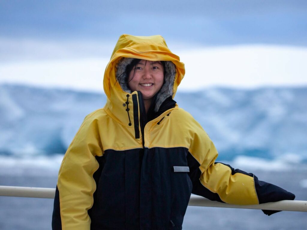
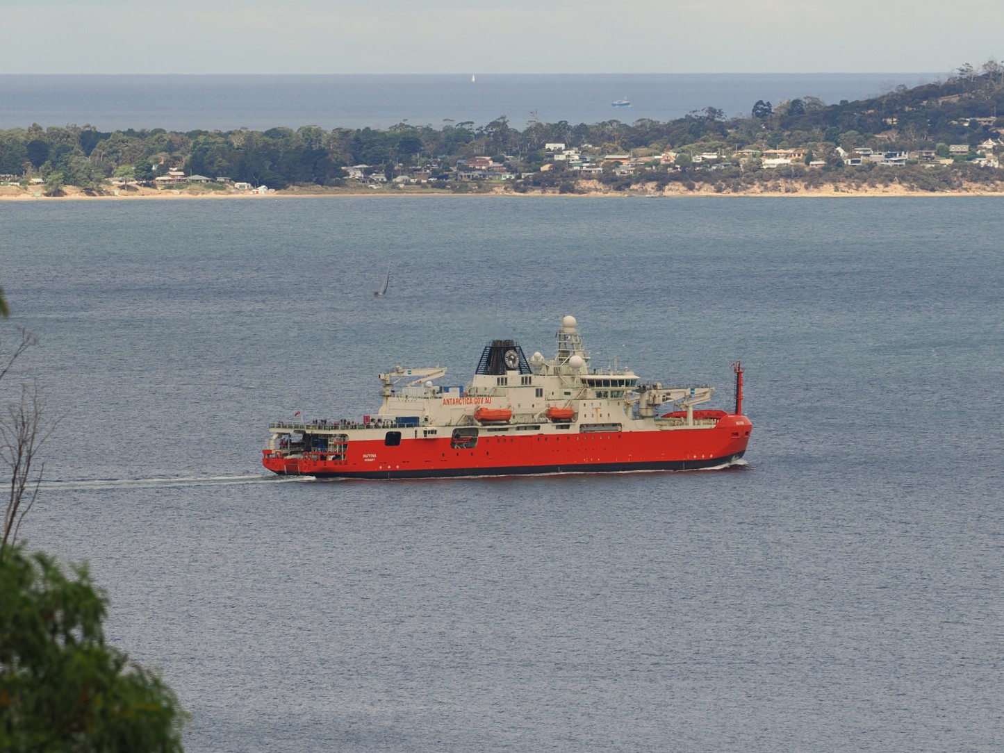
As I write, Australia’s national icebreaker RSV Nuyina is steaming south-west from Hobart, heading to Antarctica on its first dedicated marine science voyage.
On board are more than 60 scientists and technicians, many on their first research cruise, gingerly gaining their sea-legs as the ship navigates multi-metre swells and swirling Southern Ocean lows.
After a week or so of travel, they’ll push through the sea ice and arrive at their destination for the next 50 days: the remote Denman Glacier-ice shelf system in East Antarctica, about 5000 kilometres south of Australia.
As the planet warms, this is a newly emerging region of concern for Antarctica’s contribution to sea-level rise, making this mission crucial for Australia’s future and the welfare of the global community.
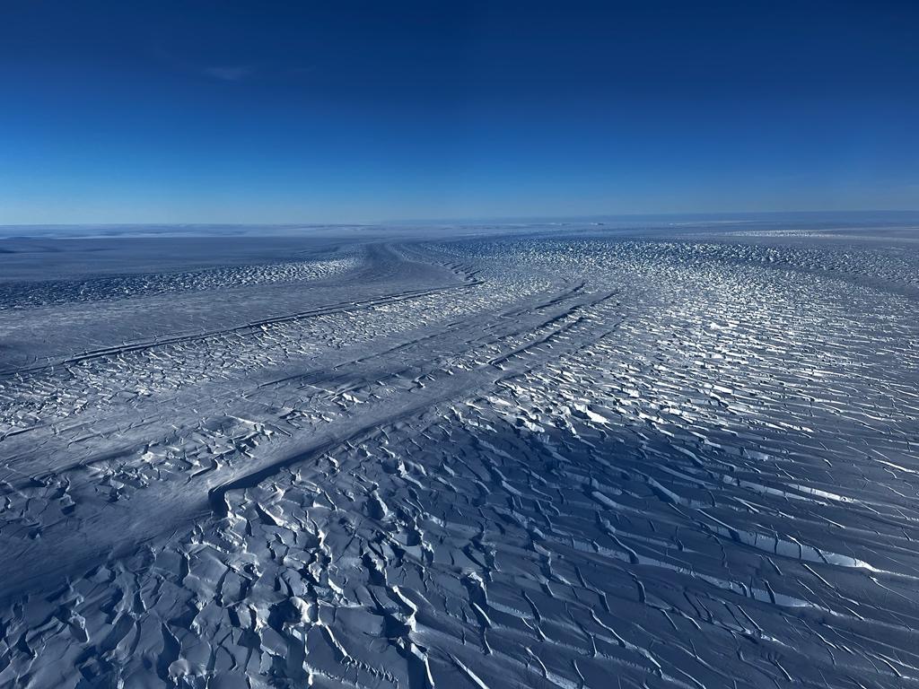
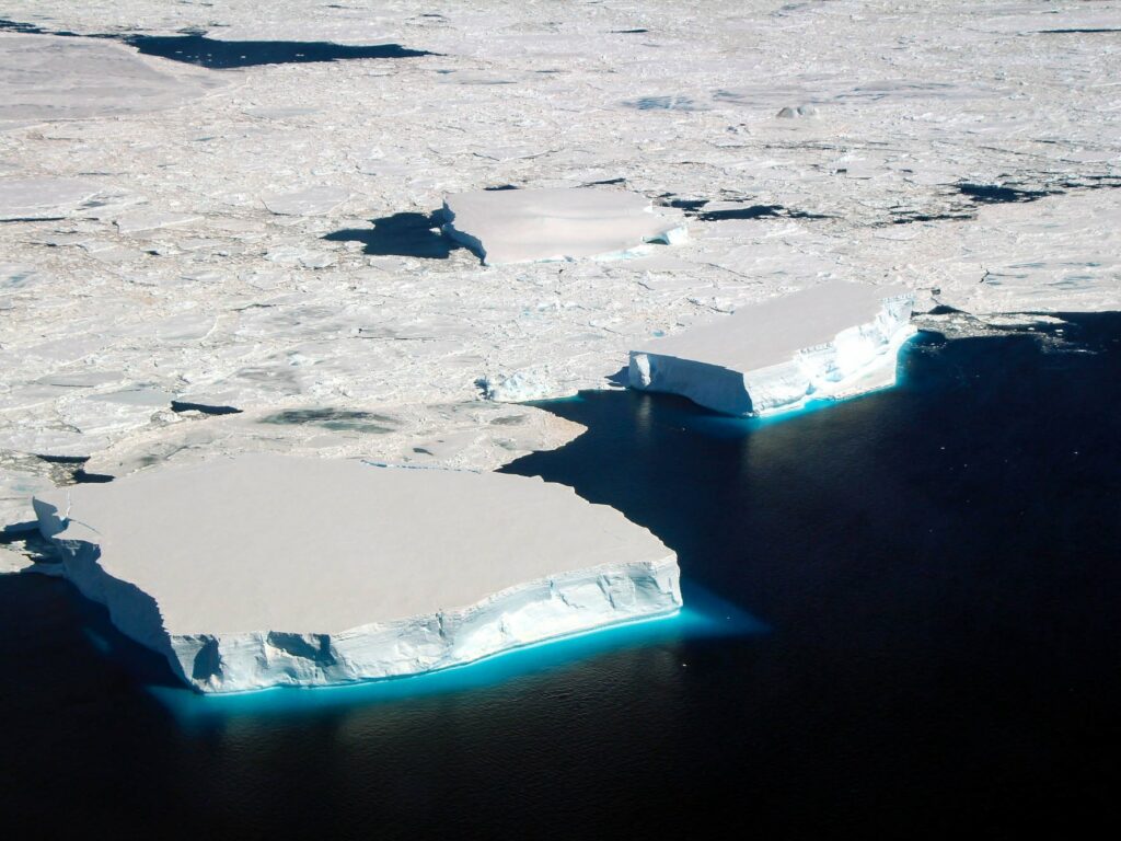
The 110-kilometre-long Denman Glacier is a vast river of ice draining the East Antarctic Ice Sheet. It sits on the seafloor in a canyon about 3.5 kilometres below the surface.
As the most northerly ice-shelf system outside the Antarctic Peninsula, the Denman Glacier is already one of the fastest retreating glaciers in Australian Antarctic Territory.
If the Denman were to melt entirely, it could contribute around 1.5 metres to global sea level rise, let alone what could be unleashed from the inland ice sheet it holds back.
This voyage has been a long time coming. It’s the culmination of about a decade of planning for a ‘dream experiment’ to investigate the interactions between ice shelf and ocean, from both the marine and terrestrial sides.
But its genesis began even earlier. Intergovernmental Panel on Climate Change (IPCC) reports in 2007 marked a turning point with the recognition that ice sheets are the problem for global sea-level rise, and that ice shelves are their ‘soft underbelly’.
We realised Antarctica was on the move. In 2008, scientists showed that changes in glacier flow have a “significant, if not dominant impact” on the loss of mass from the Antarctic ice sheet.
In 2011, scientists tagged a seal that ended up swimming through a deep trough in the ocean bed near the Denman Glacier, measuring unusually warm water there.
In 2019, a new elevation map of the continental bedrock beneath the Antarctic ice sheet revealed the deepest valley on Earth beneath the Denman Glacier.
For months from the end of 2020, Australian oceanographers tracked a robotic float that travelled underneath the Denman Glacier ice shelf.
Before it disappeared under winter sea ice, the float sent back measurements showing warm water flooding through the deep valley into the ice shelf cavity, enough to rapidly melt the glacier from below.
So this voyage aims to discover not only how vulnerable the Denman Glacier is to the warming ocean, but also the likelihood of it making a larger and faster contribution to sea level rise during the next few decades.
The Denman Marine Voyage under the Australian Antarctic Program brings together diverse teams of highly skilled researchers and the icebreaker’s world-leading scientific capabilities to answer critical questions about the ocean, ice and climate.
The research program is multidisciplinary in nature and a collaboration between four of Australia’s leading Antarctic science organisations from government and universities: the Australian Antarctic Division (AAD), the Australian Antarctic Program Partnership (AAPP), the Australian Centre for Excellence in Antarctic Science (ACEAS), and Securing Antarctica’s Environmental Future (SAEF).
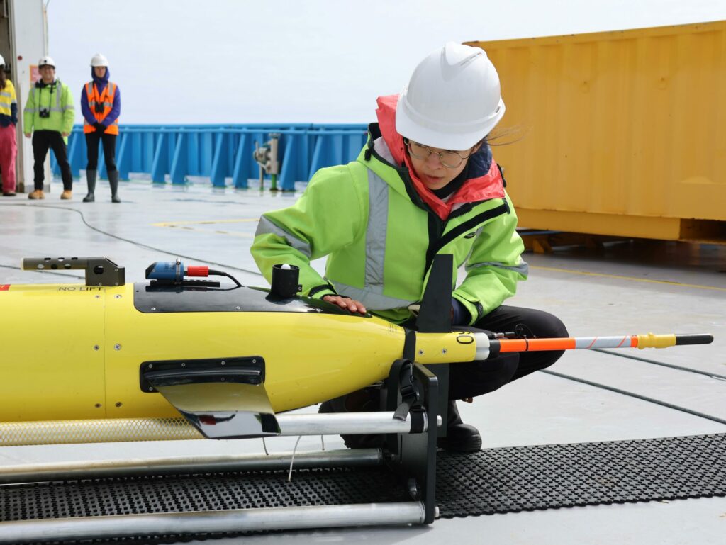
The on-board science teams – mostly from universities with a significant number of early-career scientists and PhD students – will cover a broad range of biological, oceanographic, geological and atmospheric research.
As an oceanographer, perhaps what I’m most excited about is the prospect to be measuring the properties of seawater – from both underneath the glacier and over the continental shelf – all at the same time, in a region where few observations have been collected before.
In January this year, as part of the Denman Terrestrial Campaign from the land side, a string of moored sensors was lowered through a hole in the floating ice shelf and left hanging in a deep underwater canyon near the grounding line of a glacier.
Every day the mooring automatically sends researchers the temperature, salinity, and current speed of the water. These data help us track the pathways for deep, warm, salty water to access ice shelves, where it can drive rapid melting.
And now, with the RSV Nuyina moving into position to take simultaneous measurements right in front of the glacier, we should have the vital link that connects the warm flows we detect just offshore in the ocean to what’s under the ice shelves.
The only way to get information like this is to be there. With it, we can refine our projections and better understand the hazard that Antarctica presents to our coastlines, from the global sea-level rise we can expect – or avoid – this century.
FOLLOW OUR VOYAGE BLOG HERE