Study exposes role of sea ice in protecting Antarctic coast
MEDIA RELEASE
5 March 2022
Republished from the Australian Antarctic Division
A new method for detecting and monitoring change in the exposure of the Antarctic coastline to the dynamic Southern Ocean, due to changing sea-ice distribution, could improve environmental monitoring and modelling of Antarctic ice loss and sea level rise.
For the first time, Dr Phil Reid of the Australian Bureau of Meteorology and Dr Rob Massom of the Australian Antarctic Division investigated ‘coastal exposure length’ – a daily measure of when and where the Antarctic coastline lacks any protective sea-ice buffer offshore.
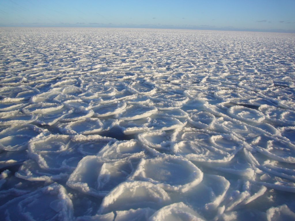
The scientists used the long-term satellite sea-ice concentration record to determine Antarctic coastal exposure, and how it has changed over the past four decades.
“Dating from 1979, this long-term record provides us with new information on the exposure of Antarctica’s coast to open-ocean conditions and potentially destructive ocean waves, and how this exposure is changing and varying in space and time,” Dr Reid said.
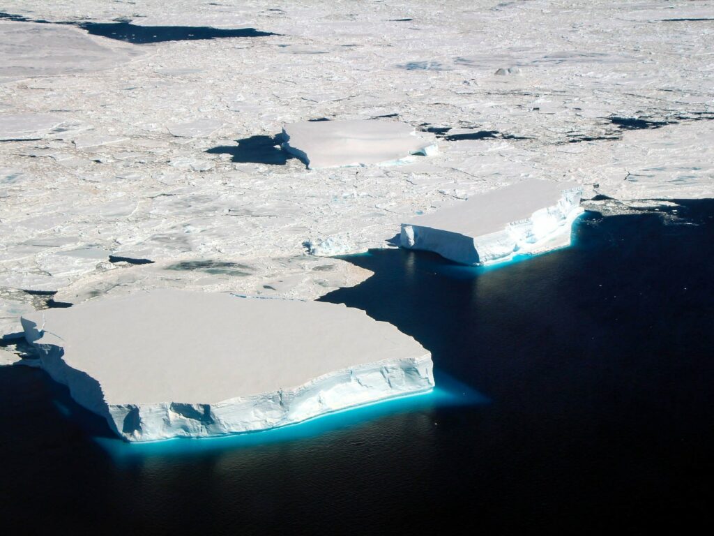
“When sea ice is present, it largely damps ocean waves to minimise their impact on the coastal areas. So sea-ice loss can lead to more dynamic and turbulent ocean conditions at the coast.”
Dr Rob Massom said change in coastal exposure duration and location has important flow-on effects for the Antarctic coastal environment, including ice shelf stability.
“Previous studies have shown that increased wave flexure can weaken outer ice-shelf margins and increase iceberg calving there,” Dr Massom said.
“This can destabilise ice shelves that buttress and regulate the flow of ground-based continental ice into the ocean, and accelerate the Antarctic ice sheet’s contribution to sea-level rise.”
The new study found that, on average, the duration of coastal exposure is greatest in the height of summer, in late February, with about 9000 kilometres or 50% of the entire Antarctic coastline fully exposed to the ocean. However, this amount varies between years, from 38% (in 2019) to 63% (1993).
The amount of coastal exposure also varies around the continent, with the northern Antarctic Peninsula being the only Antarctic region with year-round exposure while average annual exposure is typically less than about 50 days elsewhere.
A number of trends were also detected, including an increase in the annual duration of coastal exposure in the West Antarctic Peninsula region by up to three days per year, and a decrease of 1-2 days elsewhere (largely over summer and autumn).
Dr Reid said the new coastal exposure index is an important, new large-scale climate variable and metric against which to detect, gauge, monitor and assess environmental change around Antarctica’s coastline – an area that is particularly vulnerable to climate change.
“We expect that this will help us to better understand the important ice-ocean-atmosphere interactions influencing Antarctica’s coastal environment and ecosystems, and how they are changing,” he said.
“Modelling of these interactions, and including coastal exposure length, will also contribute to more accurate and robust predictions of the fate of Antarctica’s remaining ice shelves and its future contribution to sea-level rise.”
The research is published in Nature Communications at https://doi.org/10.1038/s41467-022-28676-z.