SWOT team zooms in on Southern Ocean from space
MEDIA RELEASE
16 December 2022
An advanced new satellite to observe water on Earth in unprecedented resolution promises to revolutionise Australian research in the Southern Ocean.
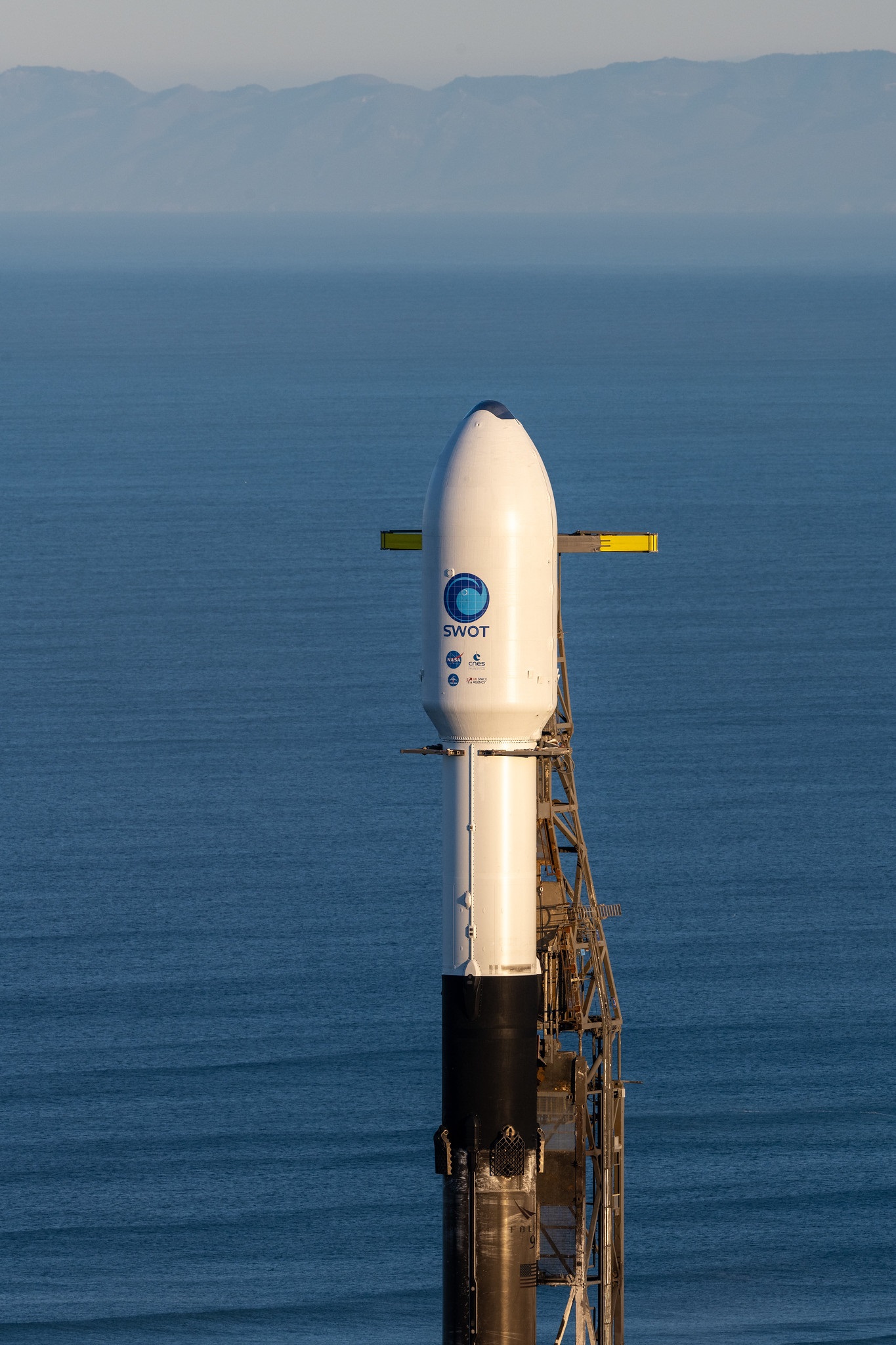
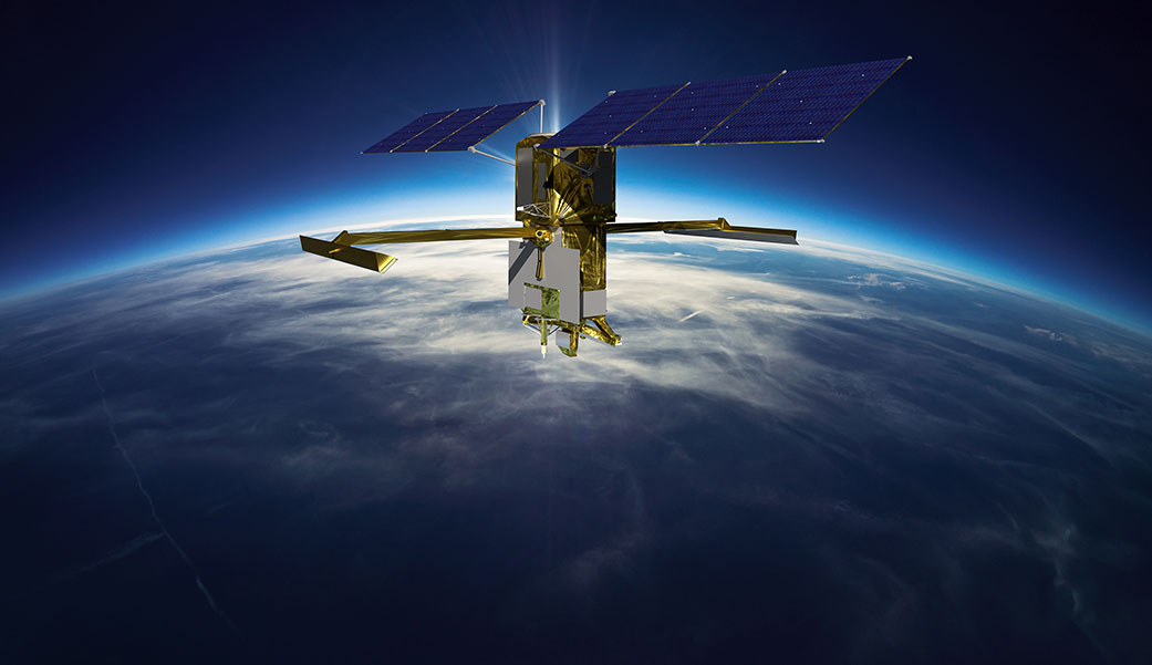
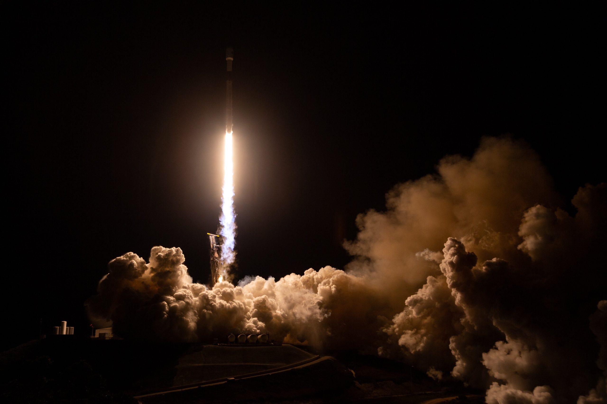
The Surface Water Ocean Topography (SWOT) satellite, jointly developed by NASA and the French space agency CNES, has been launched on a three-year mission.
Orbiting at an altitude of 891 kilometres, SWOT is designed to detect ocean features with 10 times better resolution than present technologies.
The two-tonne SWOT satellite carries a radar interferometer to enable continuous measurement of ocean heights over a 120-kilometre swath, much wider than currently possible.
High definition data
Co-leader of the oceanography project with the Australian Antarctic Program Partnership, Dr Benoit Legresy from CSIRO, said this completely new satellite technology will “change the lens” for observing the ocean from space.
“The SWOT satellite will reduce the essential ‘pixel size’ of ocean topography maps from typically 25km today down to 2km over the next year.”
“This means we’ll be able to distinguish smaller-scale ocean circulation features where most of the ocean’s heat and carbon is mixed, transported and exchanged with the atmosphere,” he said.
“In ocean dynamics, the ocean surface topography is the equivalent of atmospheric surface pressure in weather – the ups and downs of the ocean surface are like the highs and lows of atmospheric pressure.”
“This new capability to map the ocean will boost our capacity to monitor and forecast the ocean very much like we forecast the weather,” said Dr Legresy.
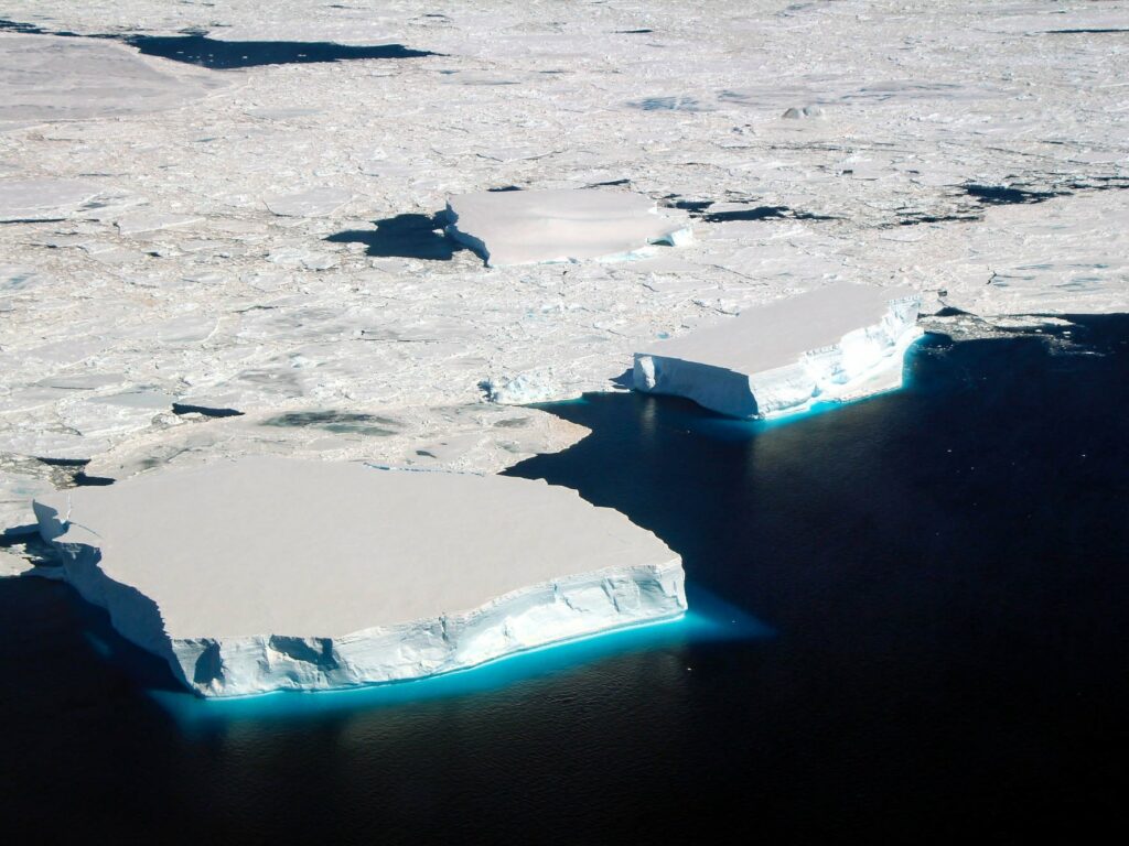
Keeping an eye on the deep south
The strongest ocean current on Earth is the Antarctic Circumpolar Current (ACC) in the Southern Ocean, transferring heat, salt and dissolved gases between all the ocean basins.
Encircling Antarctica, the ACC plays a vital role in the global climate system because it keeps the icy continent cool and frozen. As the current changes in a warming climate, we need to know the effects on the future of Antarctica’s ice sheets, and the world’s sea levels.
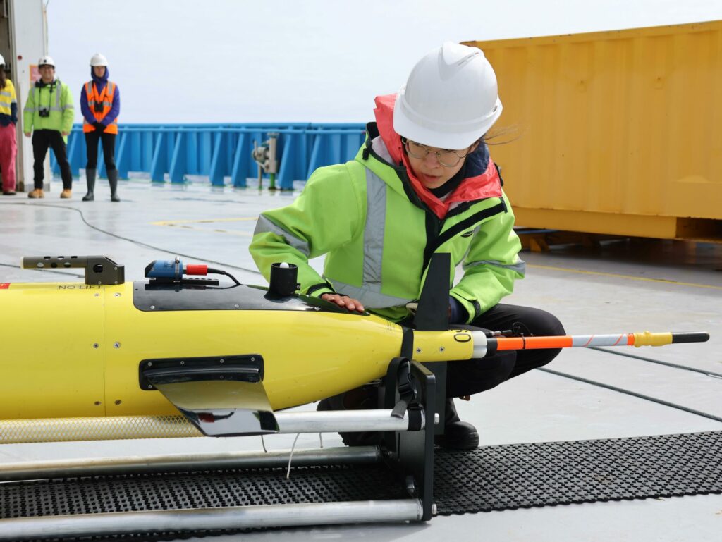
The AAPP and CSIRO, partnering with international scientists, are planning a research voyage on RV Investigator in 2023 to the heart of the ACC south of Tasmania.
The voyage will target an energetic ‘hotspot’ in the ACC under the orbital path of the SWOT satellite that is important for heat exchange between middle and polar latitudes.
From ocean observations, the voyage will validate the SWOT satellite measurements and analyse sea-surface height across a wide swath for the first time.
The Australian Antarctic Program Partnership is currently advertising for an oceanographer specifically to drive the uptake of SWOT satellite data for oceanography in the Southern Ocean.
Big questions
AAPP’s oceanography project aims to answer key science questions such as:
- How will changes in heat, carbon uptake, sea ice and freshwater in the Southern Ocean alter the pace of climate change?
- What processes link the climates of Australia and Antarctica, how does the Southern Ocean influence Australian weather, and what does this tell us about future change?
- How will the changing physics and chemistry of the Southern Ocean and Antarctica influence marine life?
- How does the surface ocean influence the lower atmosphere and sea ice, and how can these links be better represented in climate models?
The Australian Antarctic Program Partnership is led by the University of Tasmania, with partner agencies CSIRO, Institute for Marine and Antarctic Studies, Bureau of Meteorology, Australian Antarctic Division, Geoscience Australia, Integrated Marine Observing System, and the Tasmanian Government.