The CTD: What goes down, must come up
There’s one item in the oceanographic toolkit on CSIRO research vessel (RV) Investigator that gets more of a workout than others.
The CTD instrument (standing for Conductivity-Temperature-Depth) has long been a staple for oceanographers at sea. As you may have guessed, it measures the temperature, depth and salinity (or conductivity) when lowered overboard.
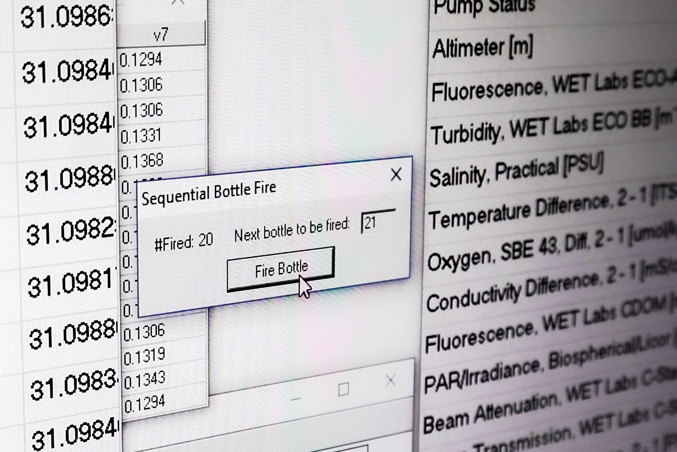
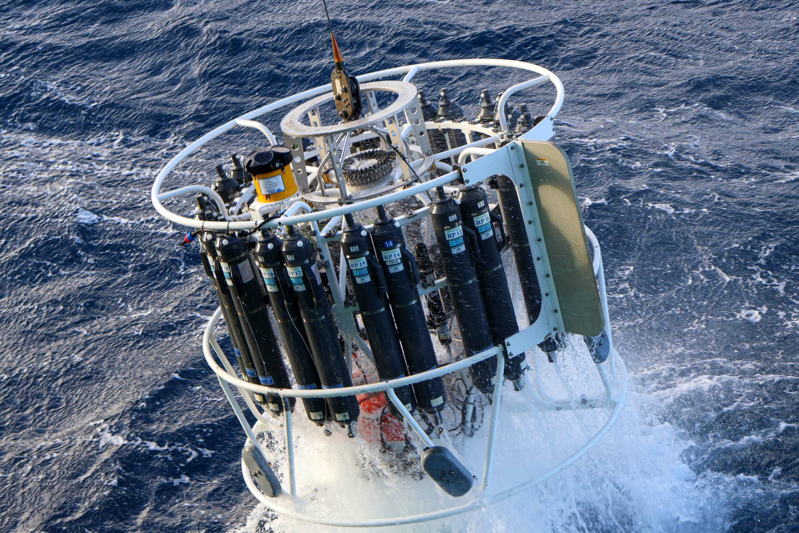
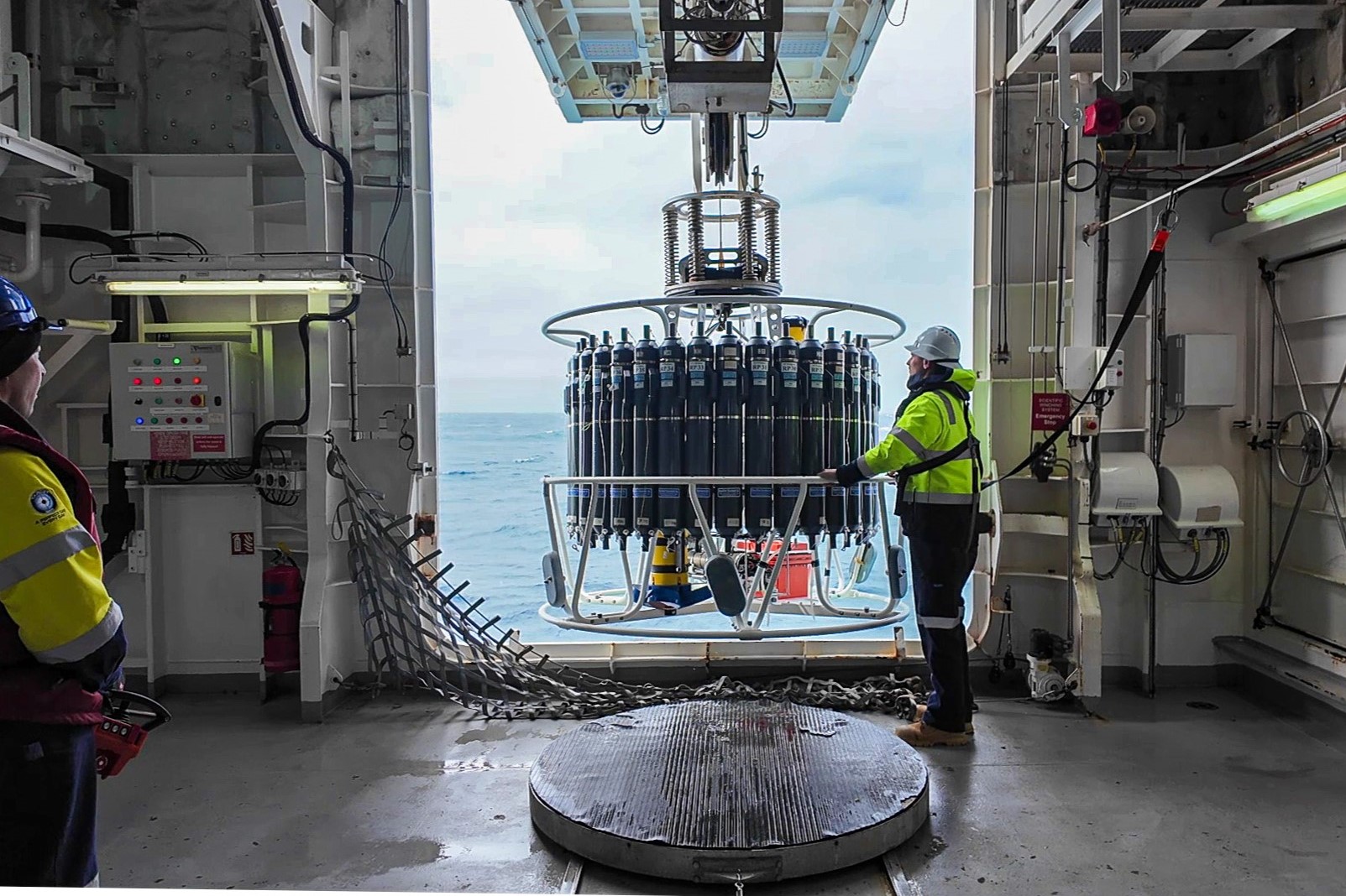
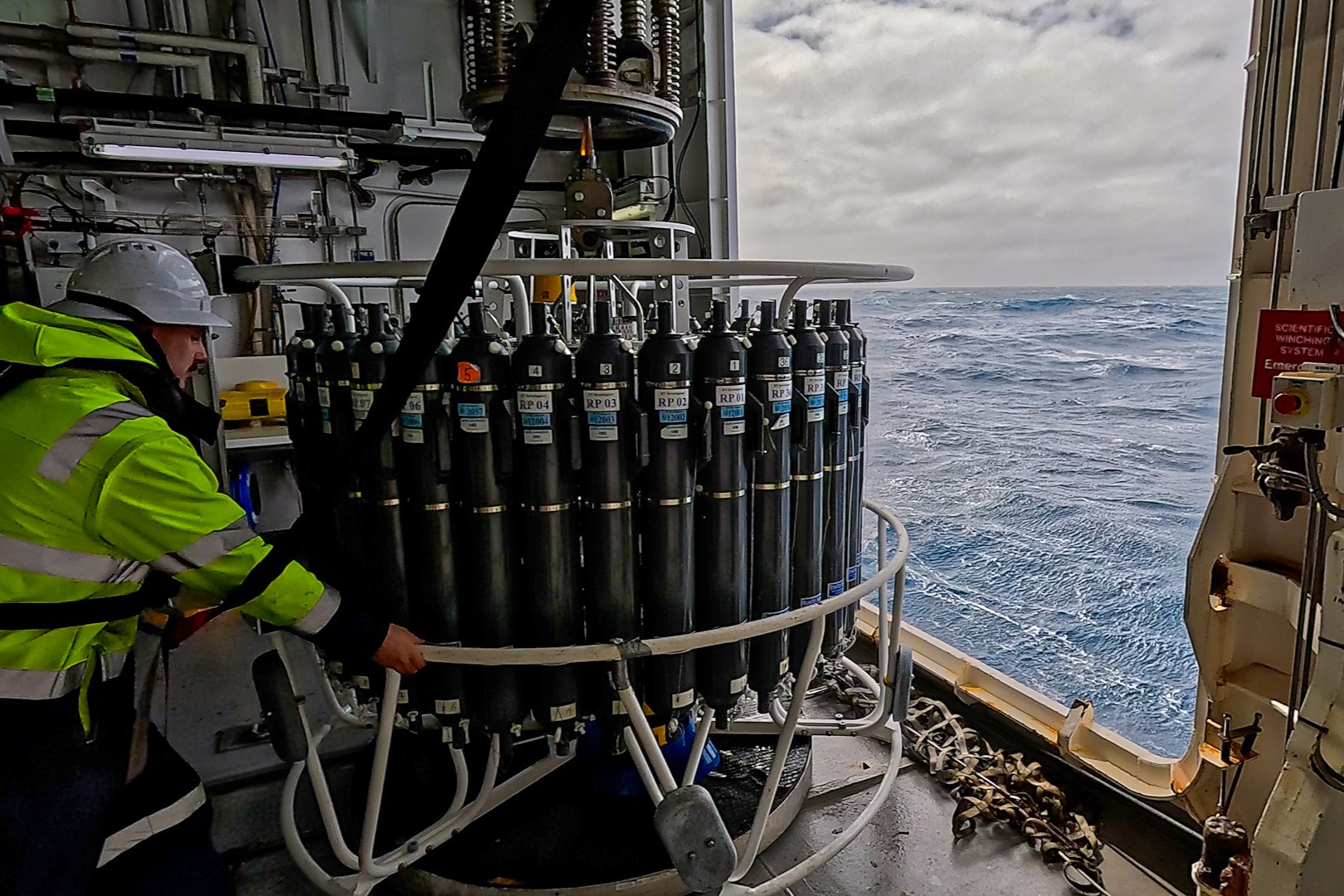
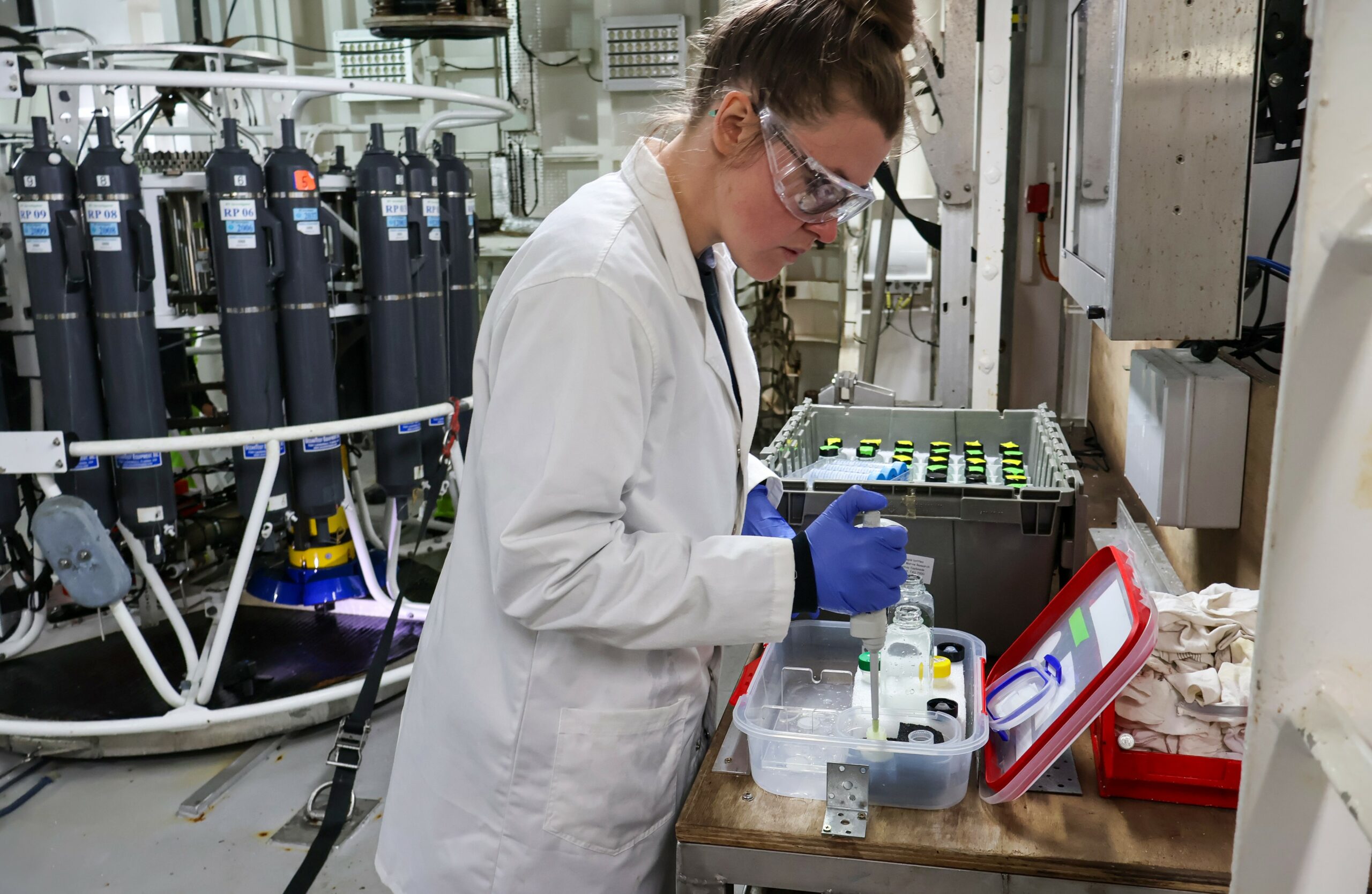
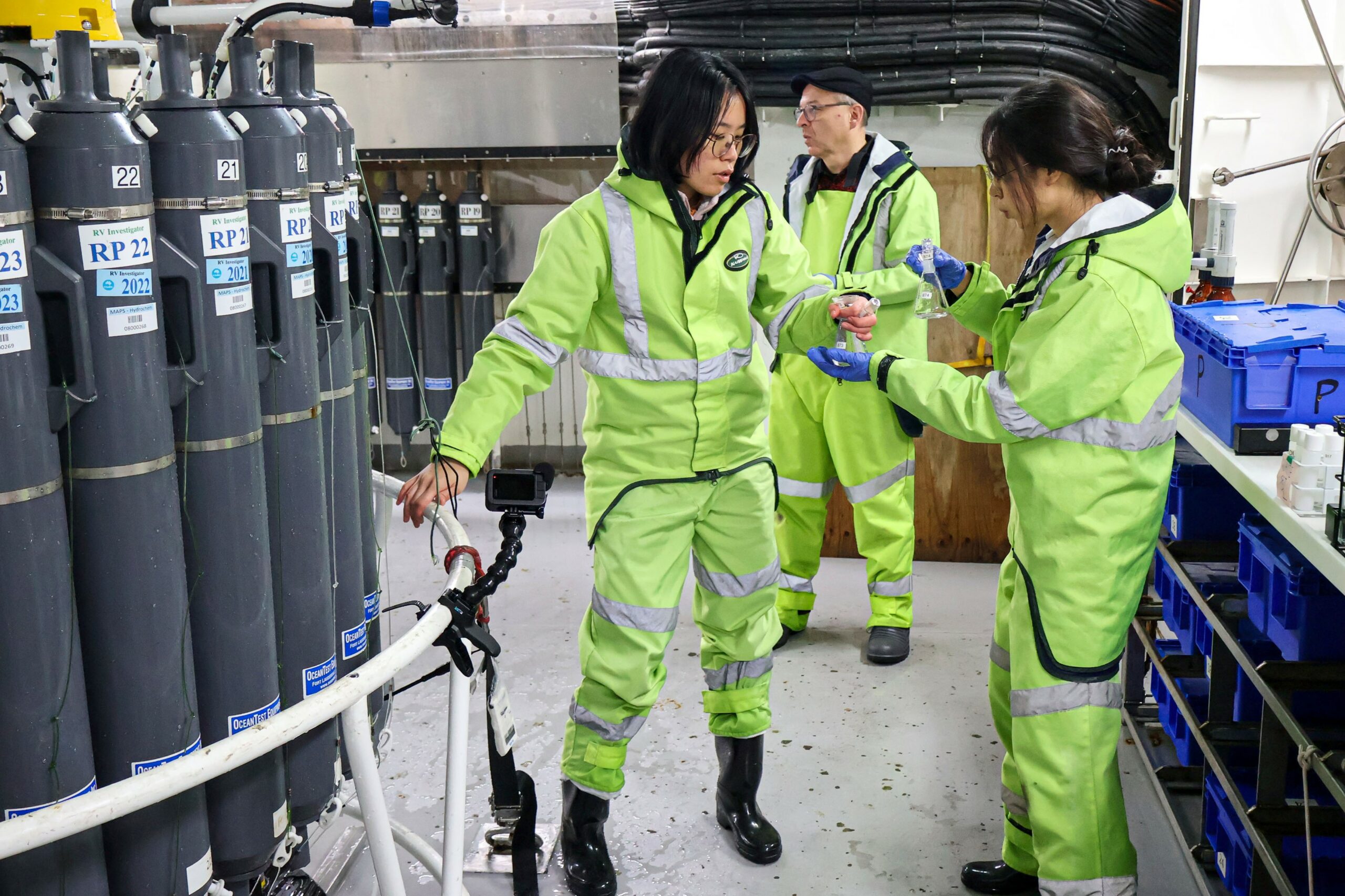
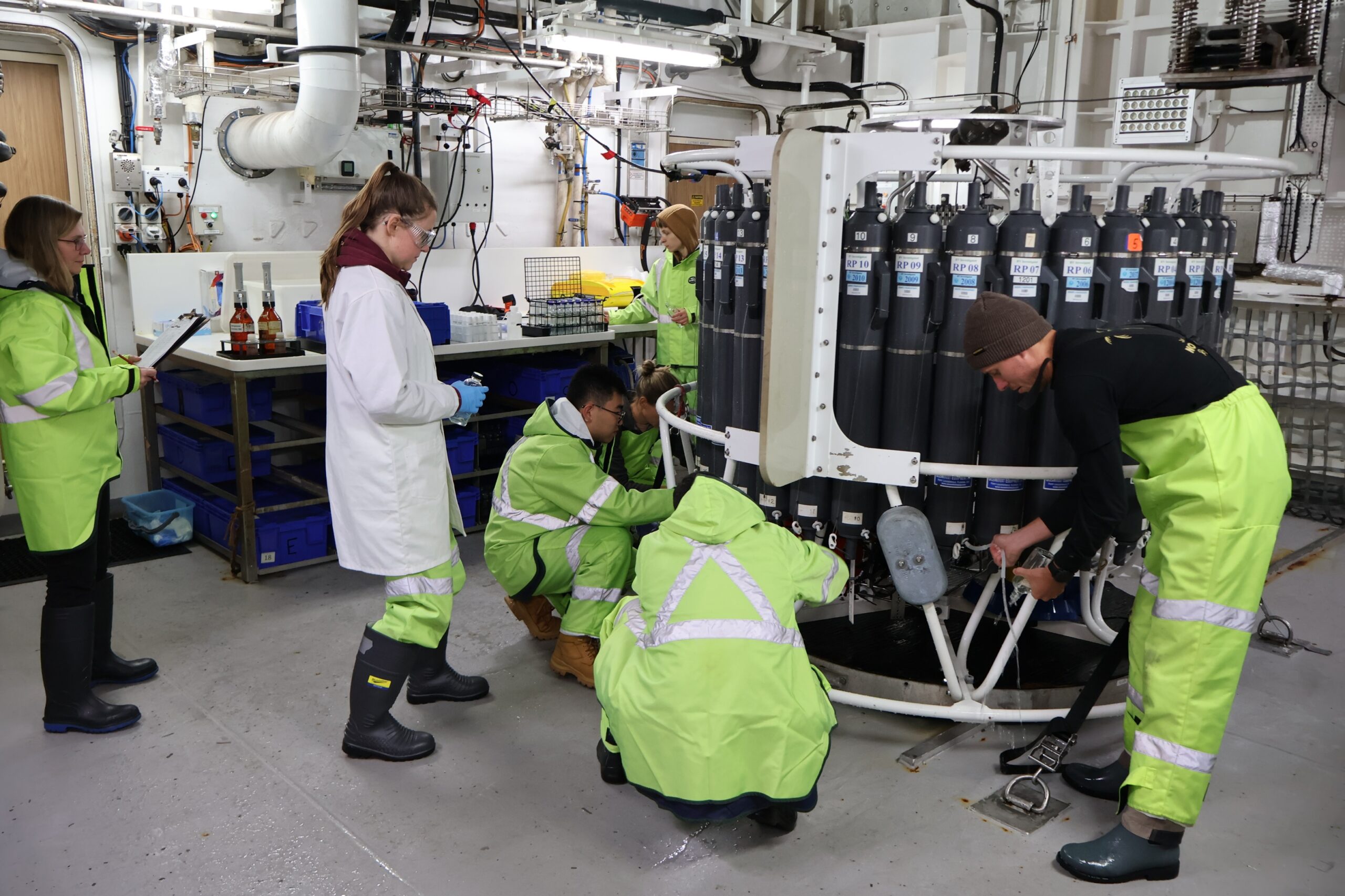
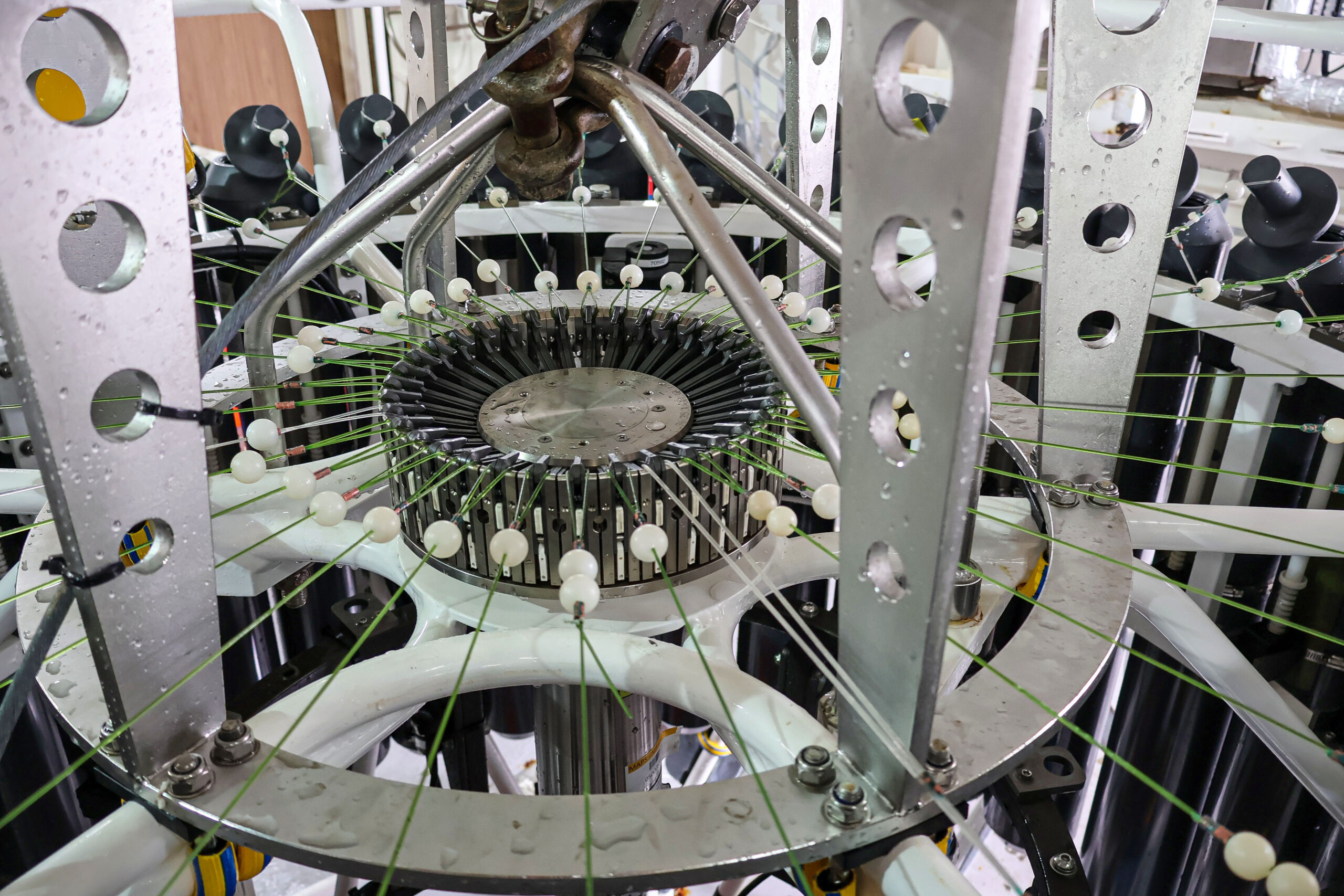
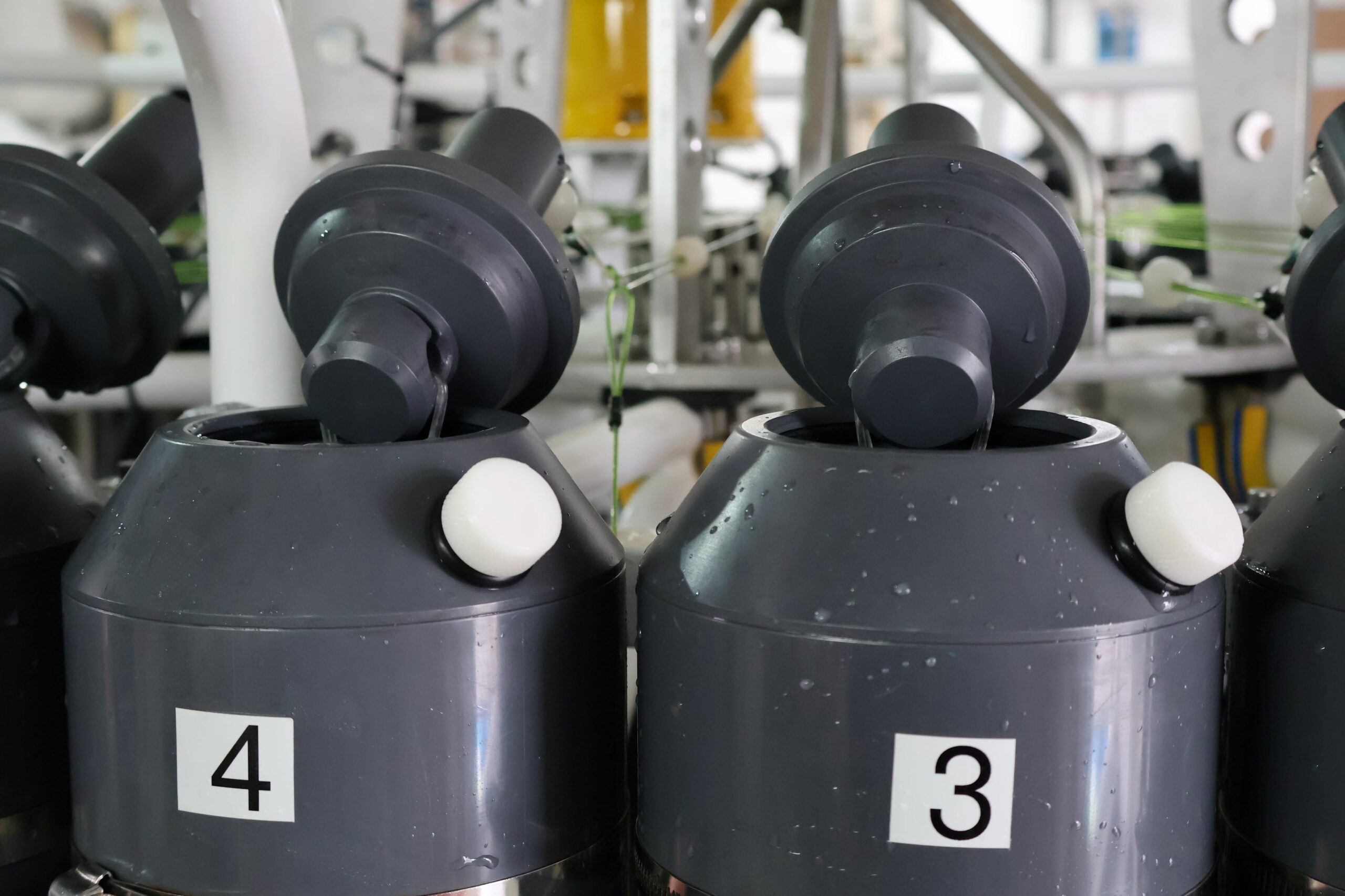
Shaped like a barrel, the CTD ‘rosette’ carries up to 36 long containers (known as Niskin bottles) with caps that can be triggered to close and capture water at specific depths.
With the ship stopped at a monitoring station, the CTD is deployed through a door on the side of the vessel from an extendable gantry and lowered on a long cable by the crane operator.
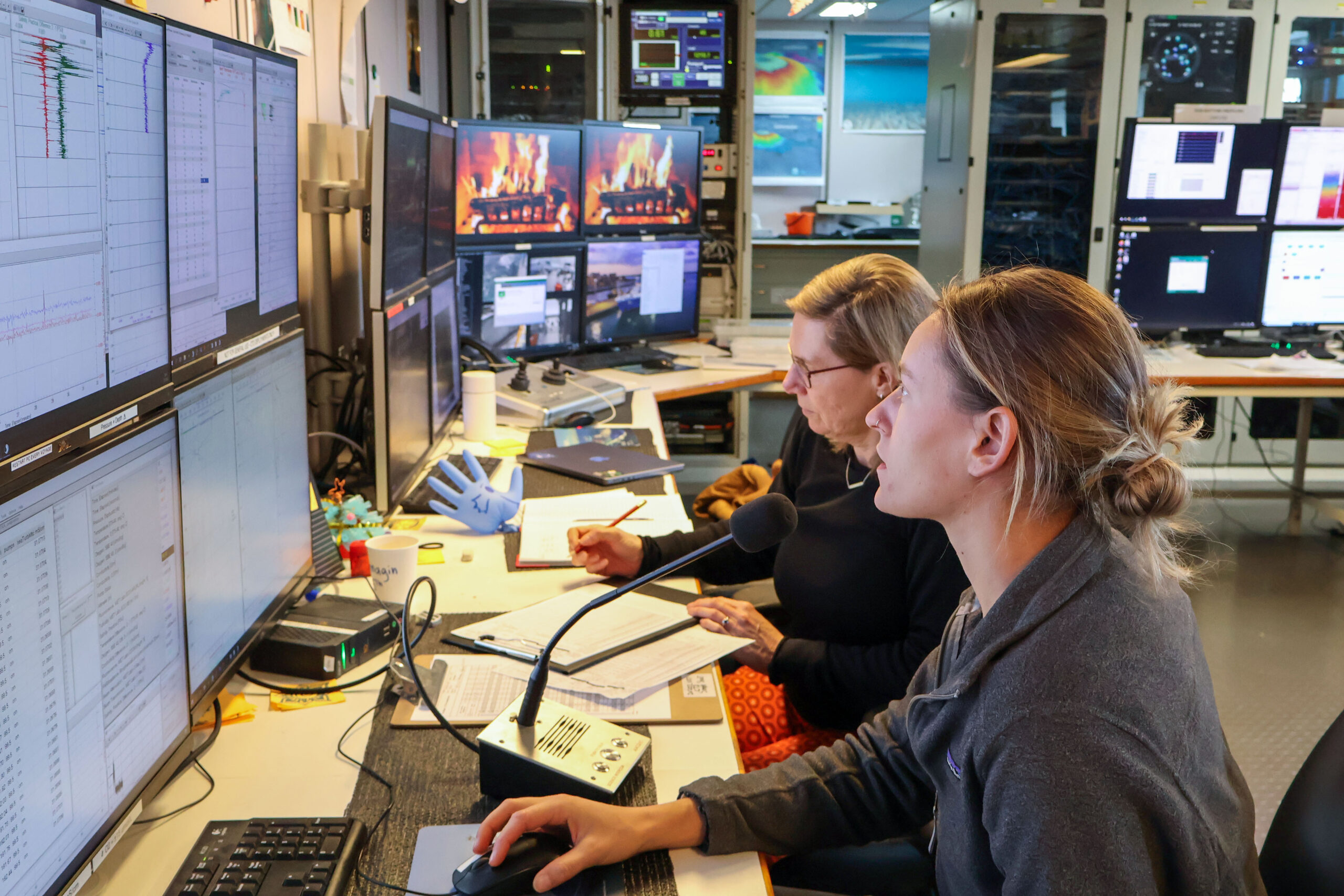
Scientists in the operations room communicate with the crane operator (aka the ‘cathouse’) about where to stop so they can trigger the Niskin bottles to collect seawater, usually every 100 metres.
They also monitor the readouts from instruments mounted on the rosette. Data from these instruments include oxygen, fluorescence (a proxy for chlorophyll from phytoplankton), turbidity, light penetration, current velocity, nitrates, temperature, pressure and conductivity.
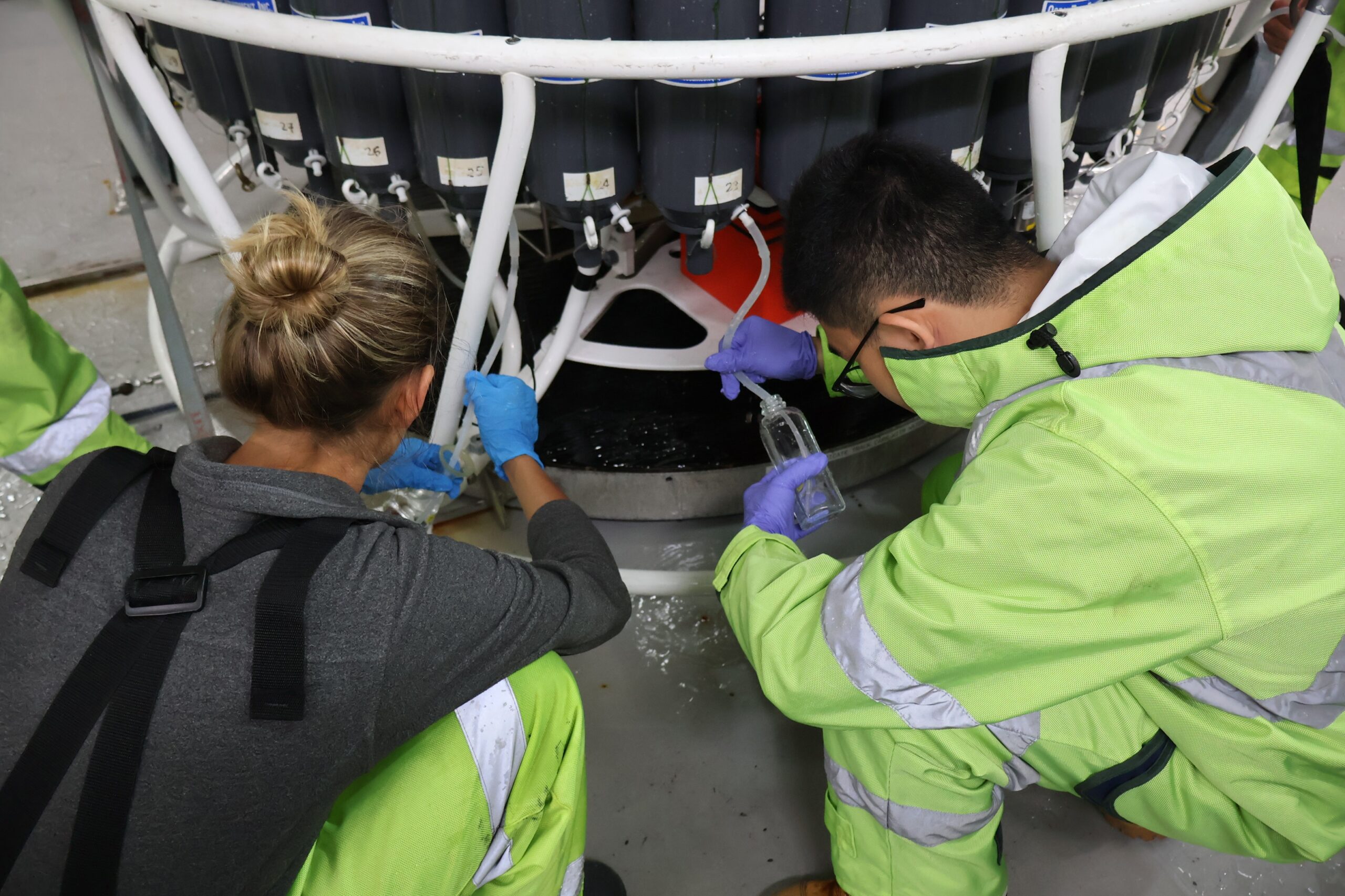
Once the journey down and back up is complete (which can take hours depending on depth), the CTD is withdrawn into the ship and the door closed, ready for processing the water in the Niskin bottles.
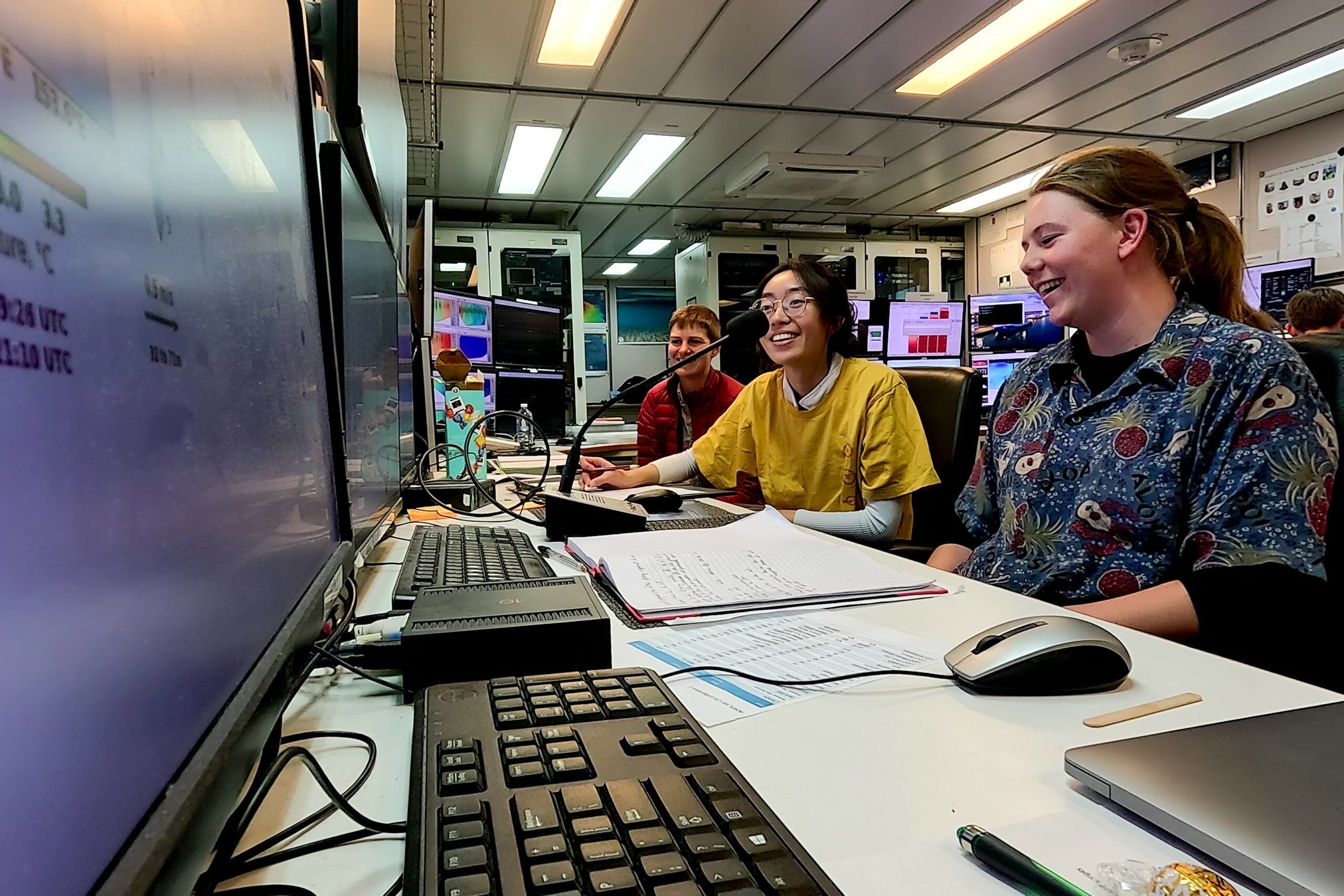
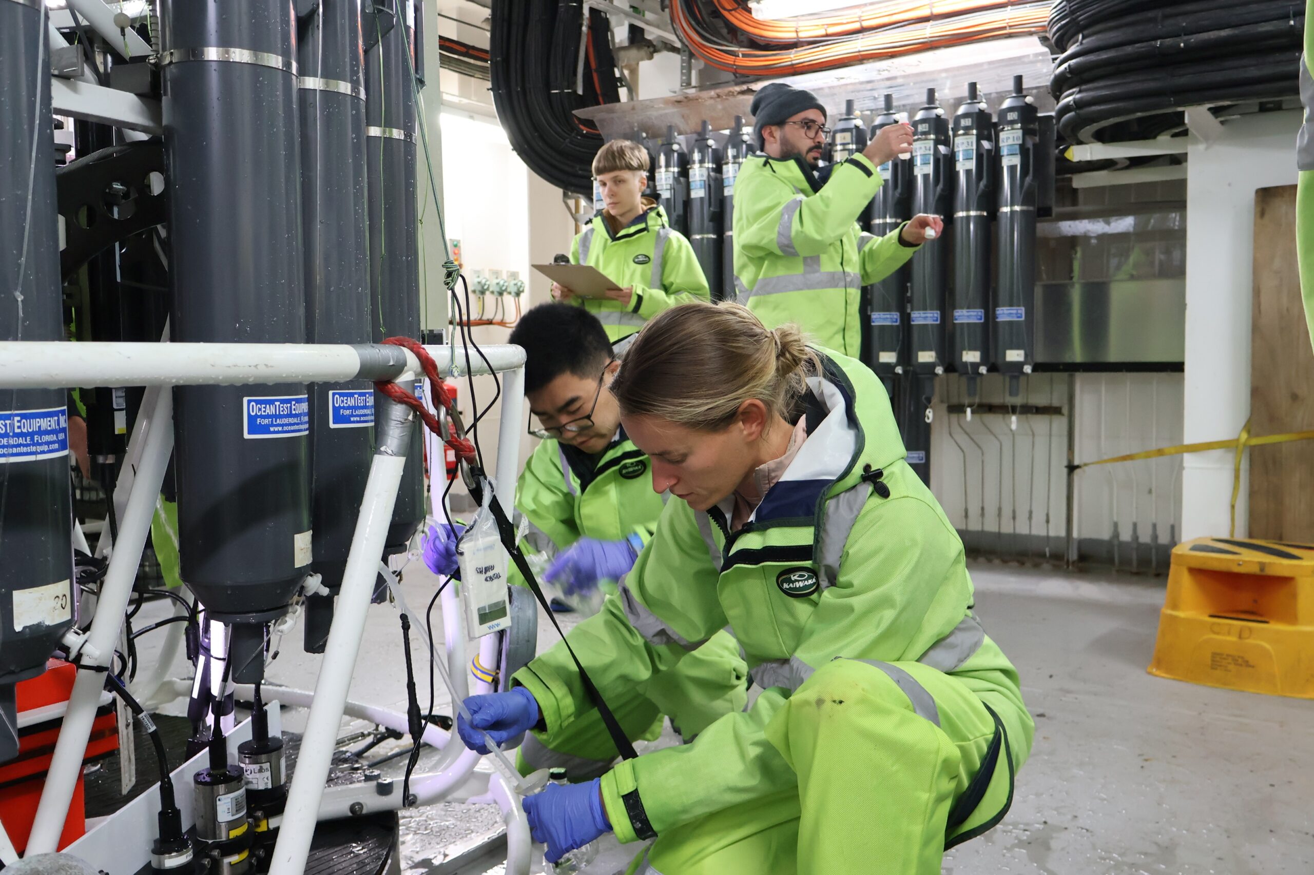
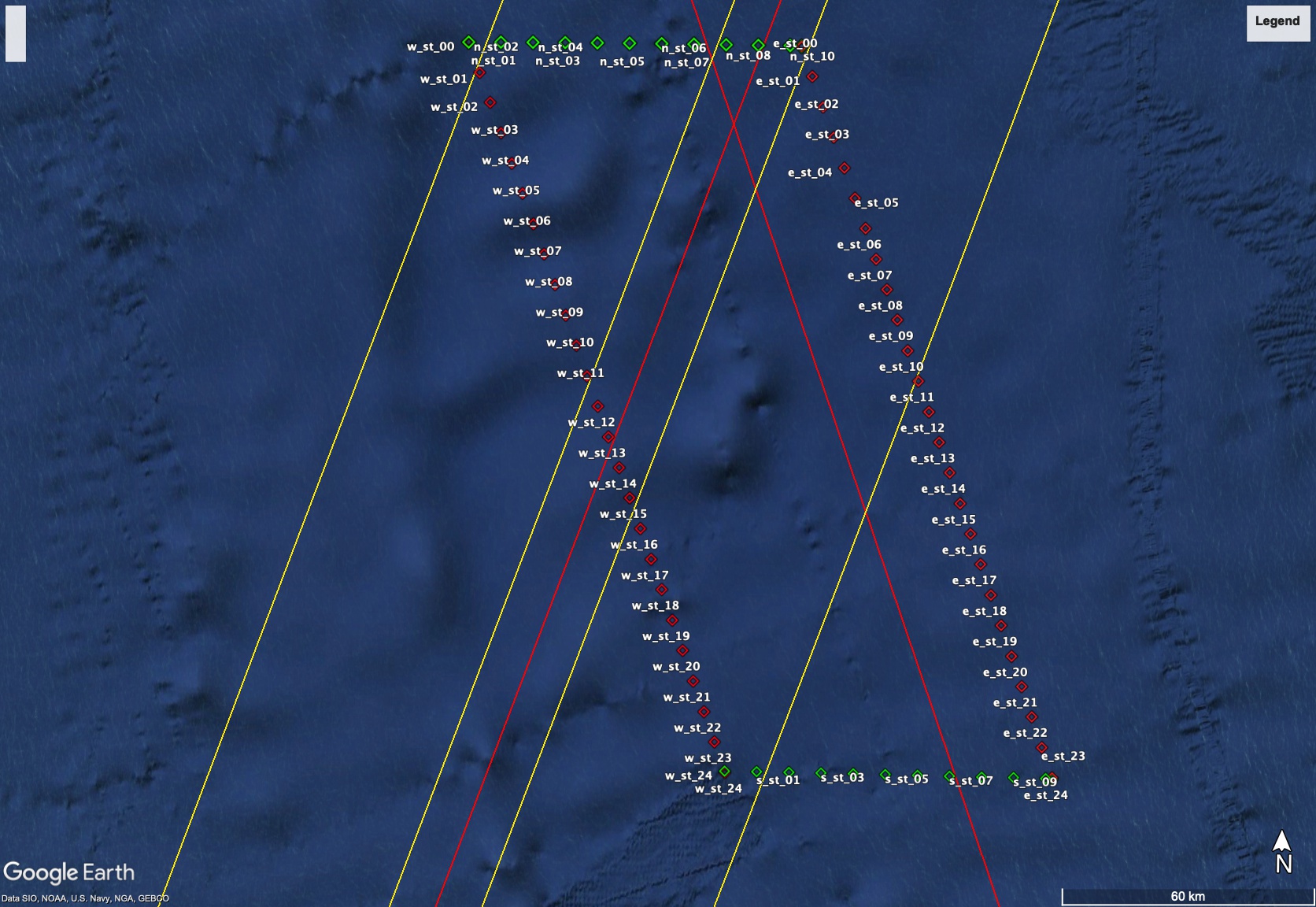
Two teams of eight people work around the clock on 12-hour shifts to deploy the CTDs and sample their wares. This research voyage has an ambitious target of 130 CTD casts around the perimeter of our ‘survey box’ in the Southern Ocean – which sets a demanding pace to maintain over a 36-day voyage.
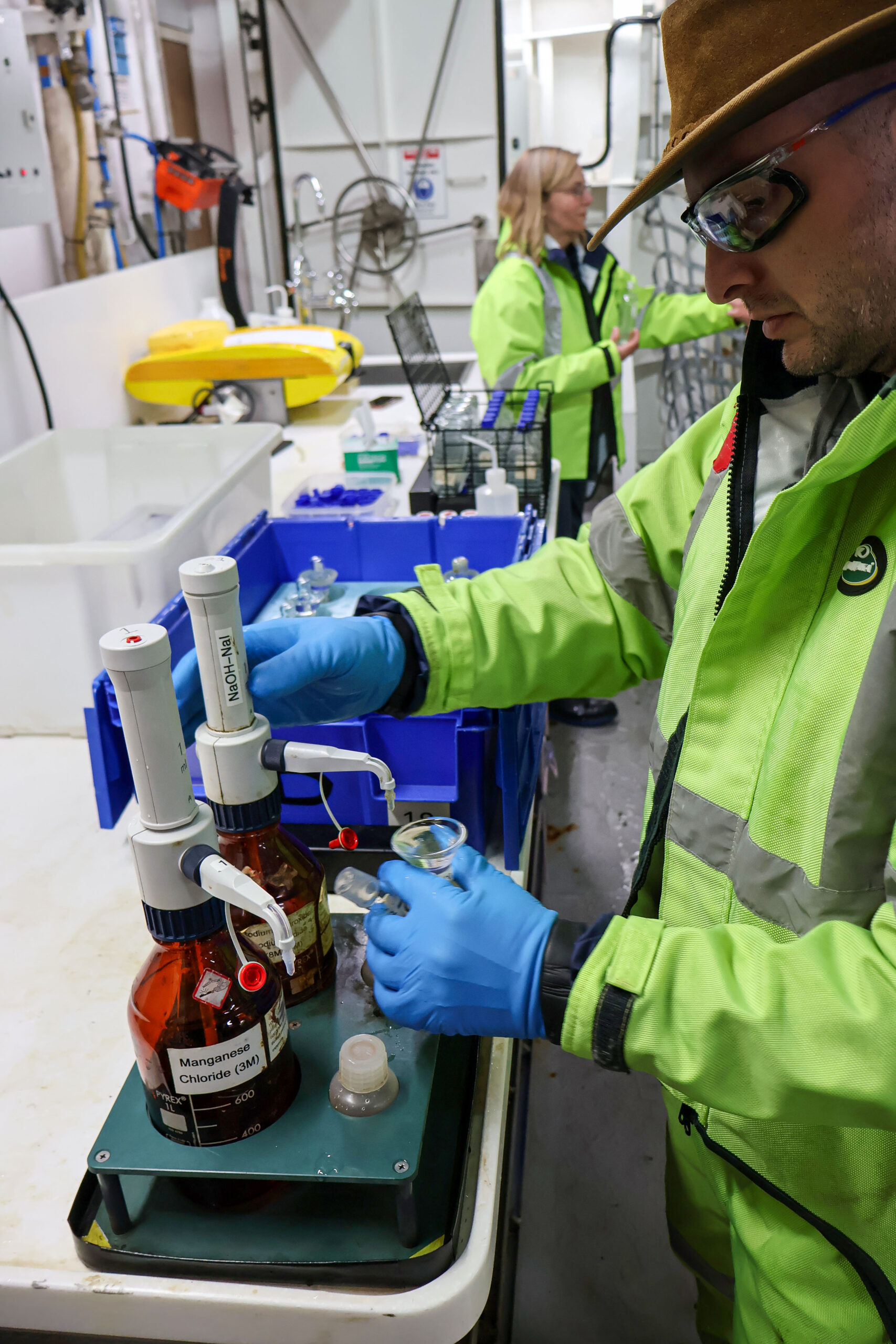
Team-members are tasked with collecting and preparing particular samples, such as dissolved oxygen, salinity and nutrients to be analysed by the hydrochem lab. Another lab on the ship is dedicated to analysing dissolved inorganic carbon. There’s also the capability to do high performance liquid chromatography (HPLC) to isolate chlorophyll pigments, and flow cytometry for doing bacteria and cell counts.
By the end of the voyage, this intensive CTD campaign will provide a detailed profile of our survey area from near-surface to the ocean floor about four kilometres below. The perimeter of CTD profiles surround the tall mooring anchored in the centre and add essential context to what’s recorded by the other untethered instruments we deploy, such as gliders and floats.
Our CTD measurements all the way to the sea floor allow us to map how finer-scale eddies and filaments spinning off the Antarctic Circumpolar Current are transporting heat across the Southern Ocean towards Antarctica – and help us reveal how this may change in the future.
This research is supported by a grant of sea time on RV Investigator from the CSIRO Marine National Facility which is supported by the Australian Government’s National Collaborative Research Infrastructure Strategy (NCRIS).
