We’re in the zone
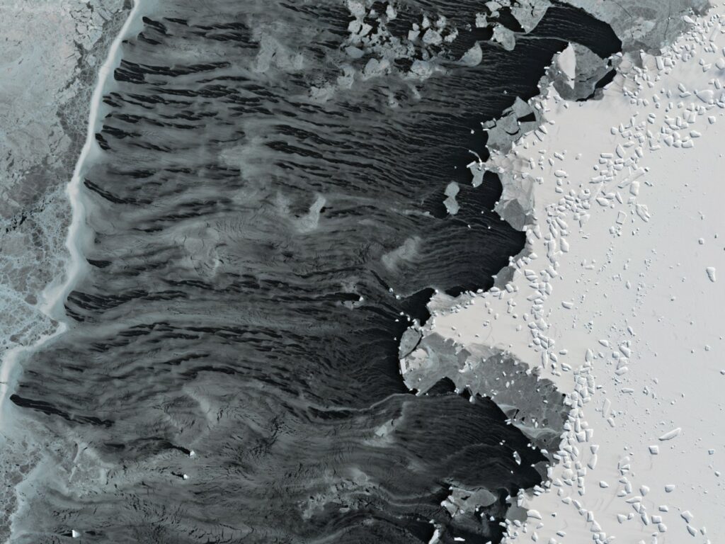
The FOCUS voyage has now reached our survey area about 850 nautical miles south of Hobart (or 200nm west of Macquarie Island, halfway between Tasmania and Antarctica).
While we wait for the right weather window for unfurling and anchoring the 3.5km-high tall mooring and releasing Argo floats, we’ve well and truly started on CTD sampling along the survey lines, with one waypoint every 3nm.
This means back-to-back CTD casts around the clock for rotating shifts of scientists and crew. We’re getting into the rhythm, collecting oceans of data on the characteristics of the water masses in this dynamic area of high-energy eddies spinning off the Antarctic Circumpolar Current.
I’m very happy with how the CTD is working. The students have picked up the routine very well and the workflow is now very efficient. We’re training a smart new generation of oceanographers able to lead a CTD shift in their future sea-going endeavours.
We’ve also taken the opportunity to release some of our drifters and I can track their locations on my phone to see where they go and what they can tell us. They measure sea surface temperature and location, which is used to calculate ocean current velocities. Additional measurements can include barometric pressure, salinity, wave height, wind speed and direction and optical sensors.
Next step: the first overflight of the SWOT satellite across our survey area happens this Friday at 2300, and we’re planning a Triaxus tow to coincide with its passage.
Benoit Legresy
Co-chief Scientist, FOCUS voyage
This research is supported by a grant of sea time on RV Investigator from the CSIRO Marine National Facility which is supported by the Australian Government’s National Collaborative Research Infrastructure Strategy (NCRIS).


